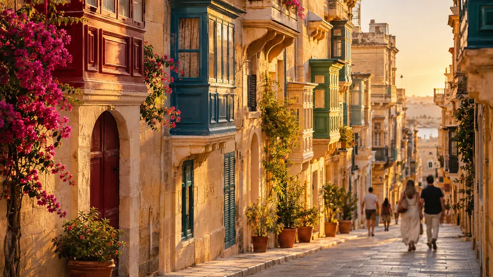
Valletta.
Valletta on foot: 17 places explained, 3 routes drawn on real streets, 6 districts and the essentials for getting around. Sources are cited on every page.
- 17
- places
- 3
- routes
- 6
- districts
The essentials
Numbers refer to the map of places
How we work
A guide to read while walking: every place has its story, every route follows real streets.
Where to stay
Recommended districts to stay within walking distance
- FlorianaBooking.comHotels.com
- SliemaBooking.comHotels.com
- Grand HarbourBooking.comHotels.com
- Marsamxett HarbourBooking.comHotels.com
- GżiraBooking.comHotels.com
- Pietà, MaltaBooking.comHotels.com
Partner links: via.city may earn a commission, at no extra cost to you.
Where to start
Distances measured along the line; times are walking time only, without visits.
Walk 1: from St John’s Co-Cathedral to Valletta Waterfront
7 stops, from St John’s Co-Cathedral to Valletta Waterfront.
3.0 km
40 min on footWalk 2: from Grandmaster’s Palace, Valletta to Fort Saint Elmo
7 stops, from Grandmaster’s Palace to Fort Saint Elmo.
2.7 km
35 min on footWalk 3: from Fort Manoel to City Gate (Valletta)
7 stops, from Fort Manoel to City Gate.
7.4 km
1 h 38 on foot
Map of places


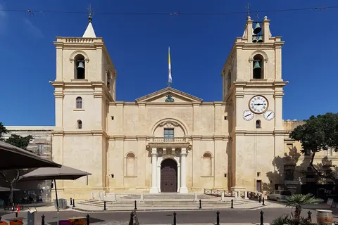
- 1St John’s Co-CathedralChurches and chapels
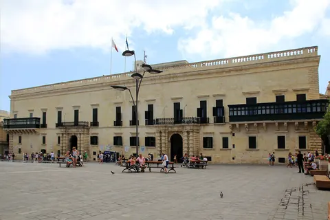
- 2Grandmaster’s PalaceMonuments
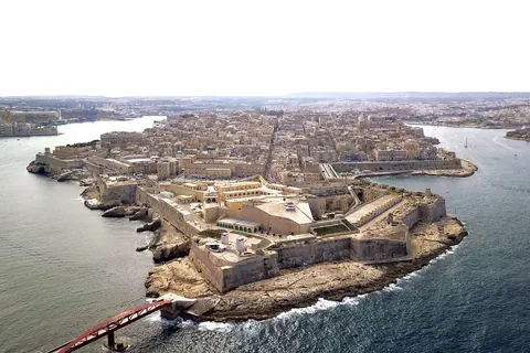
- 3Fort Saint ElmoWalls and towers
- 4Valletta WaterfrontViewpoints
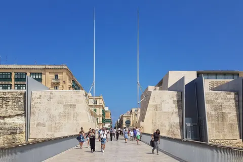
- 5City GateMonuments
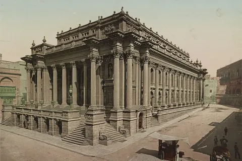
- 6Royal Opera HouseShows
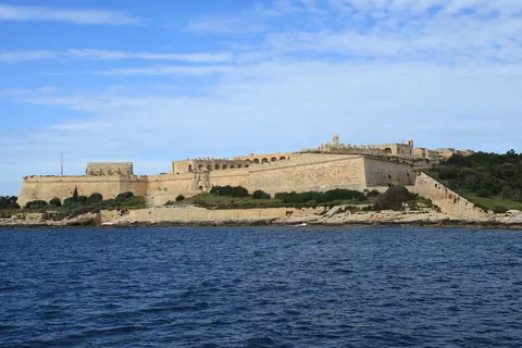
- 7Fort ManoelWalls and towers
- 8Auberge d’AragonMonuments
- 9Casa Rocca PiccolaMuseums
- 10Malta Maritime MuseumMuseums
- 11Upper Barrakka GardensGardens
- 12Lower Barrakka GardensGardens
- 13Auberge de CastilleMonuments
- 14Manoel TheatreShows
- 15MUŻAMuseums
- 16Republic StreetMonuments
- 17Church of Our Lady of VictoryChurches and chapels
Districts
Floriana
Floriana, also known by its title Borgo Vilhena, is a fortified town in the Port Region area of Malta, just outside the capital city Valletta.
Sliema
Sliema is a town located on the northeast coast of Malta in the Northern Harbour District.
Grand Harbour
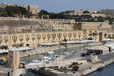
The Grand Harbour, also known as the Port of Valletta, is a natural harbour on the island of Malta.
Marsamxett Harbour
Marsamxett Harbour, historically also referred to as Marsamuscetto, is a natural harbour on the island of Malta.
Gżira
Gżira is a town in the Eastern Region of Malta.
Pietà, Malta
Pietà is a small harbour town in the Eastern Region of Malta, located near the outskirts of the capital city Valletta.
App in preparation
The Valletta guide has no app yet. Leave your address: a single message on the day it comes out.